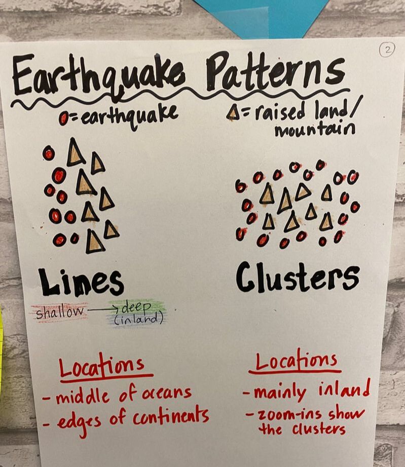
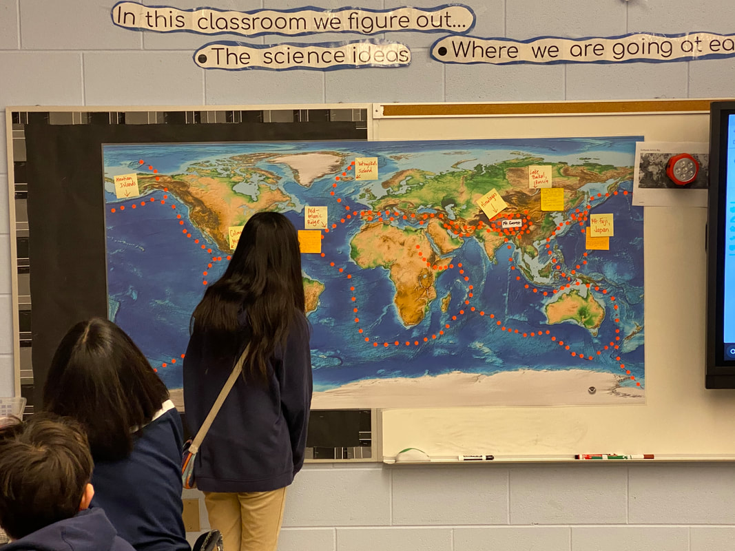
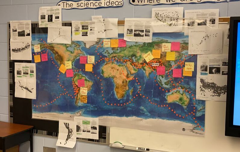
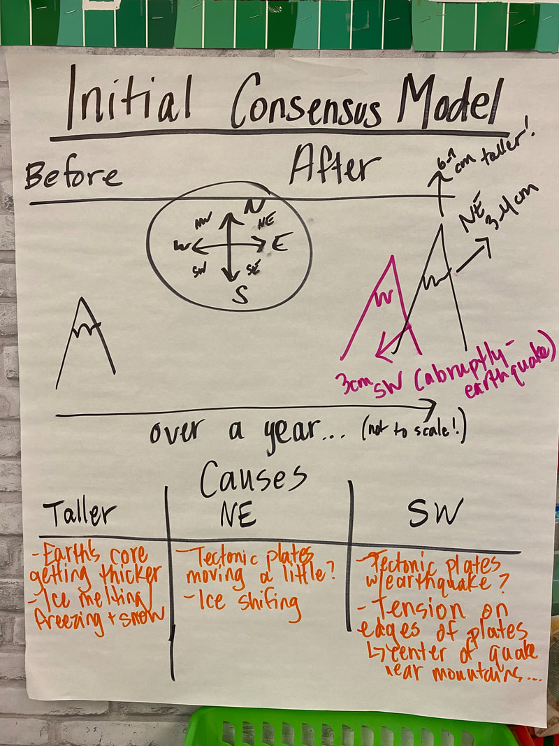
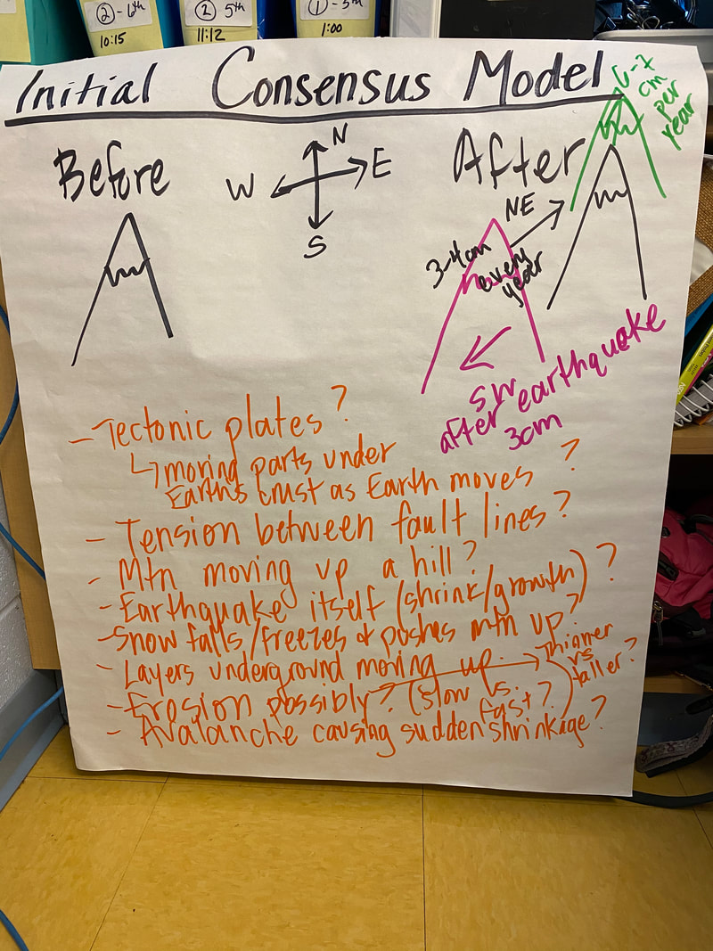
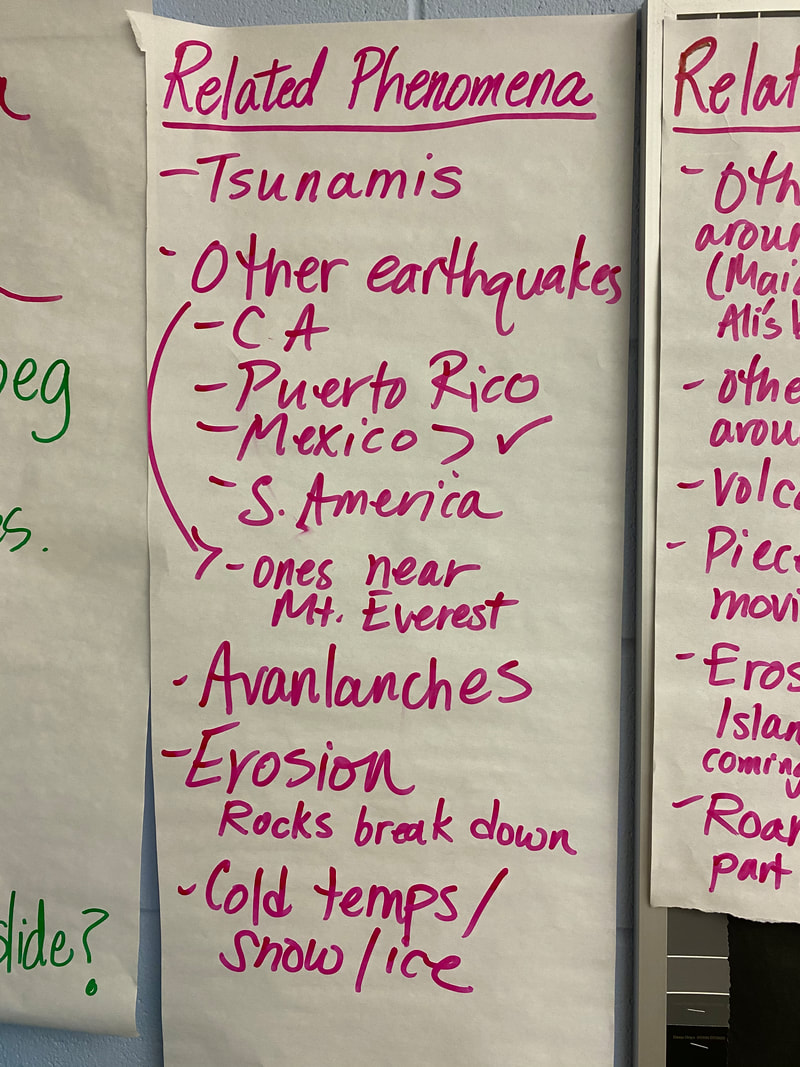
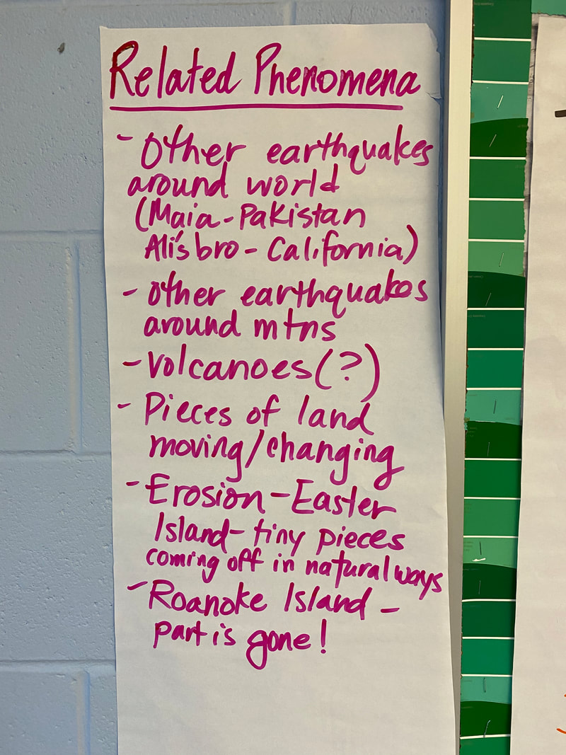
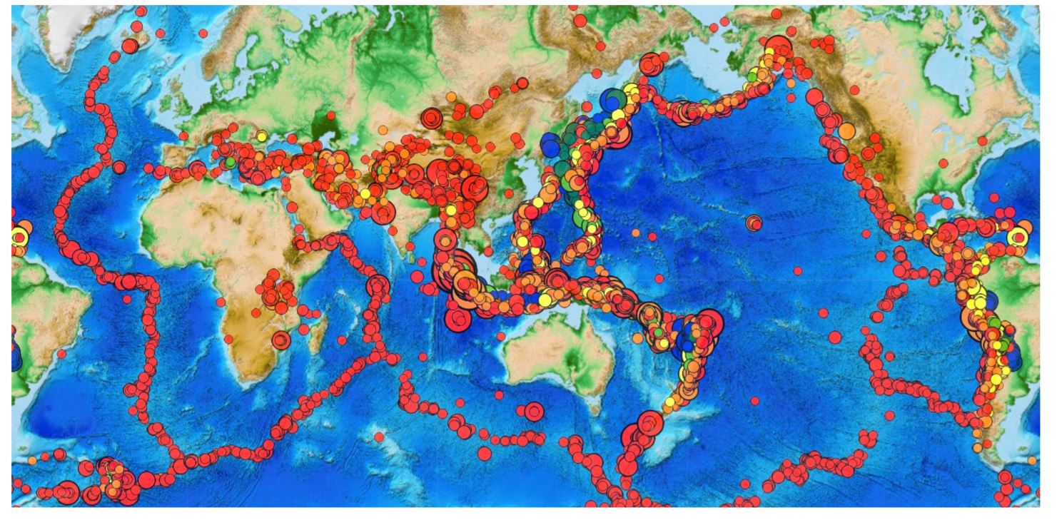
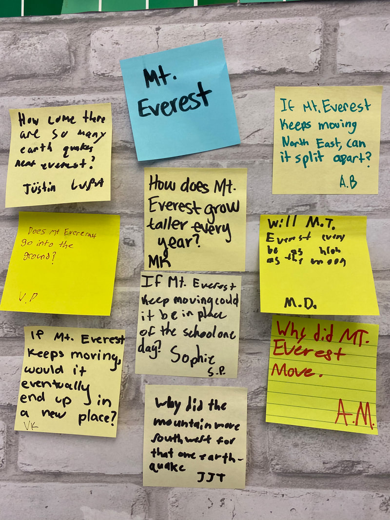
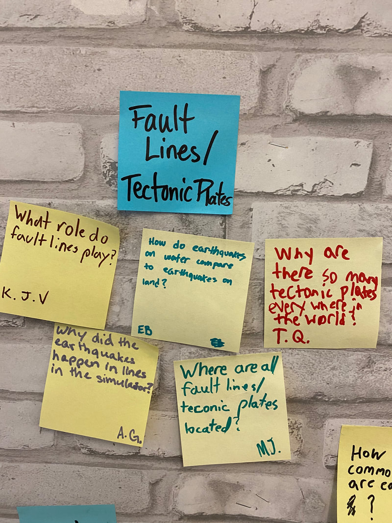
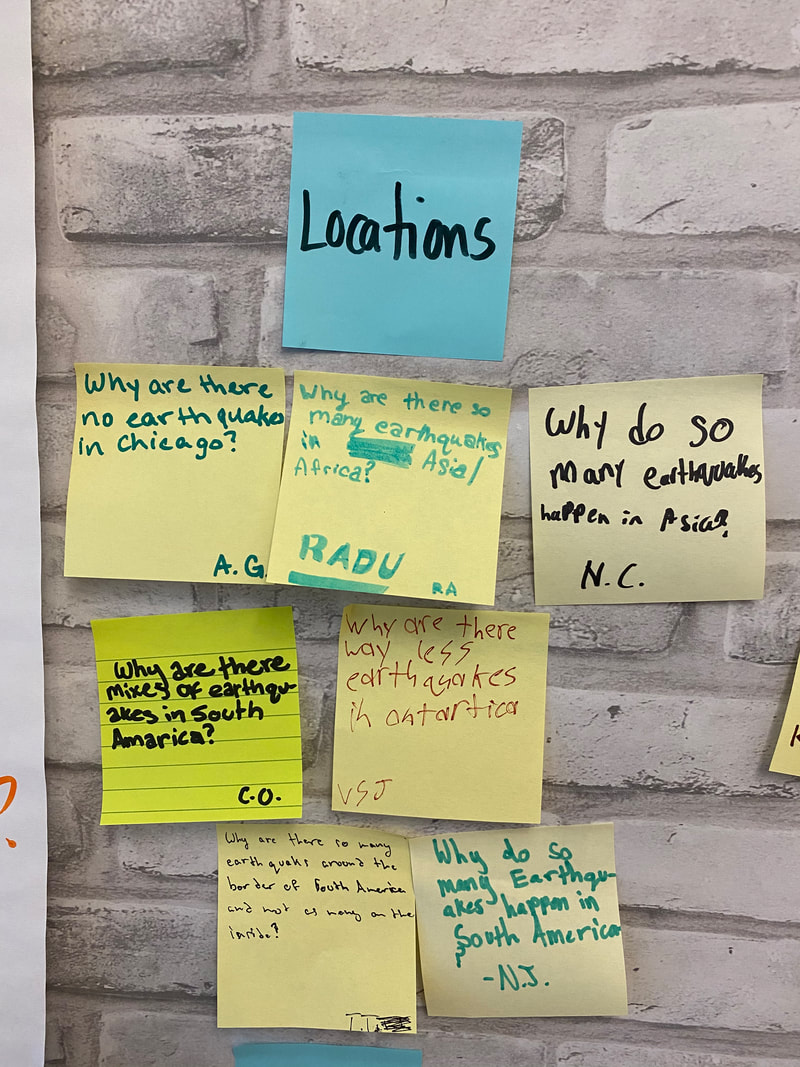
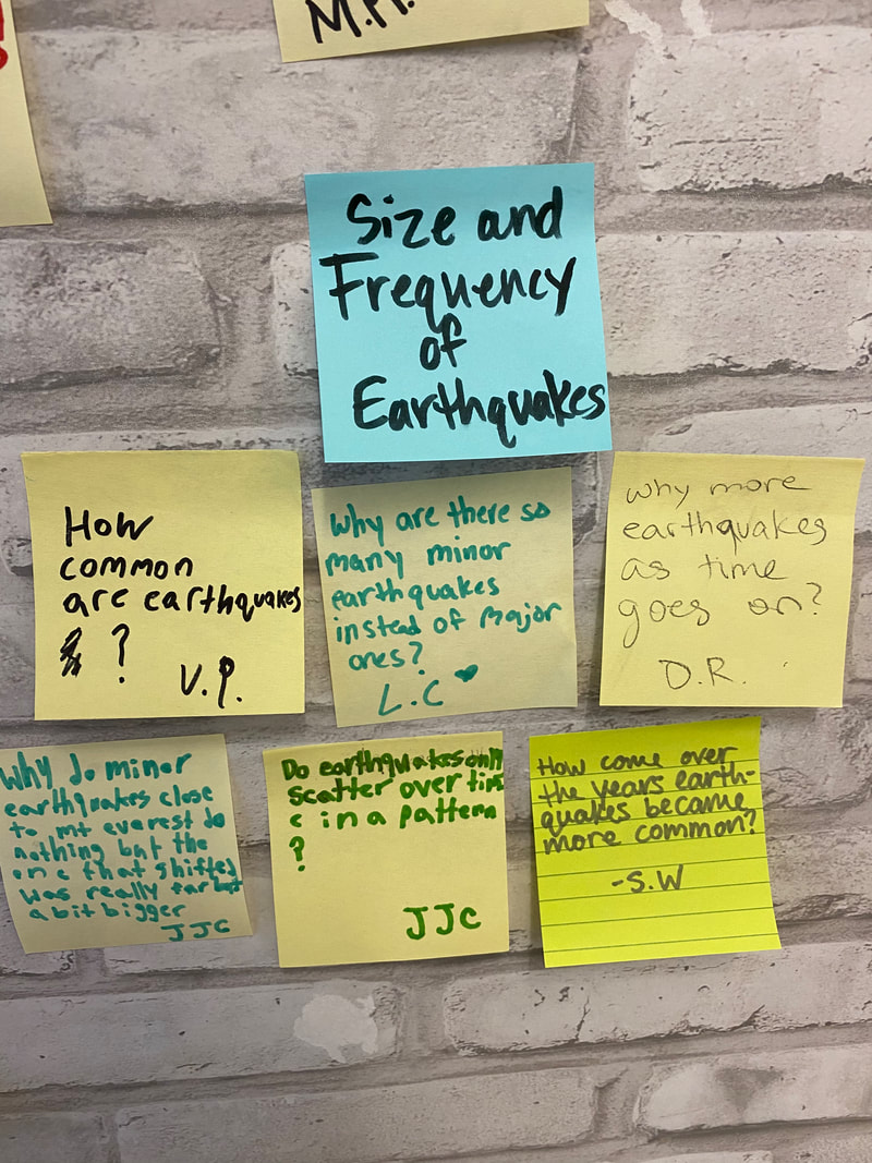
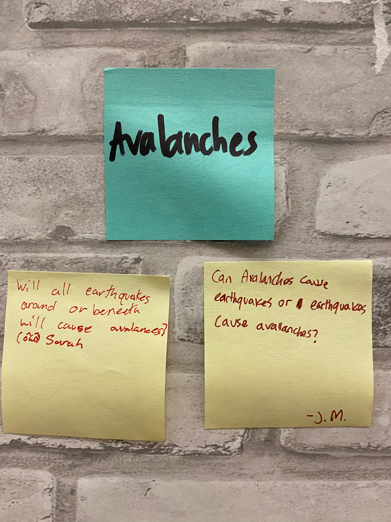
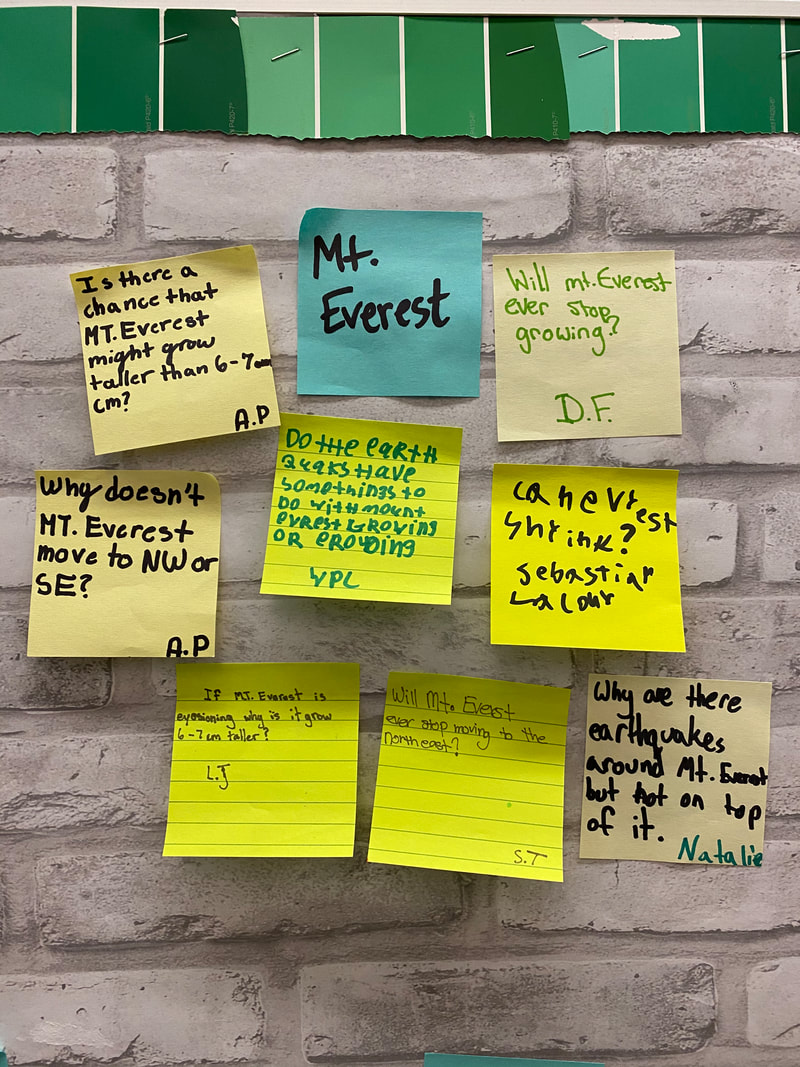
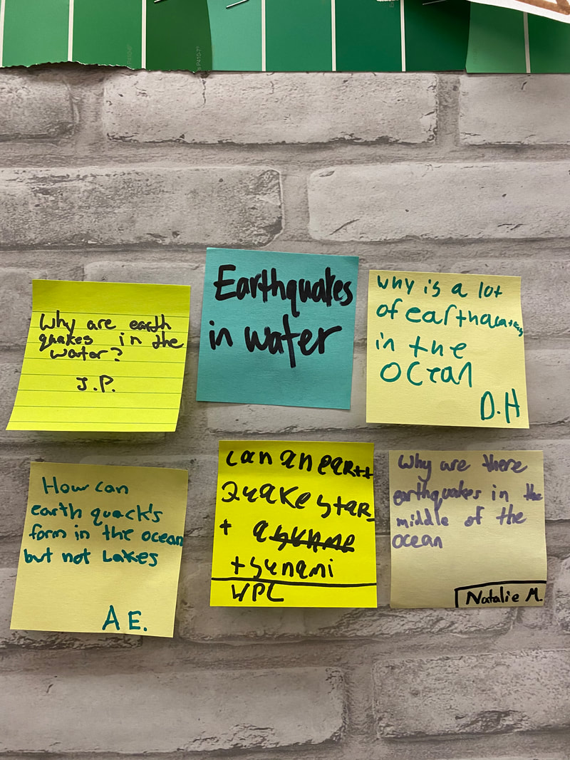
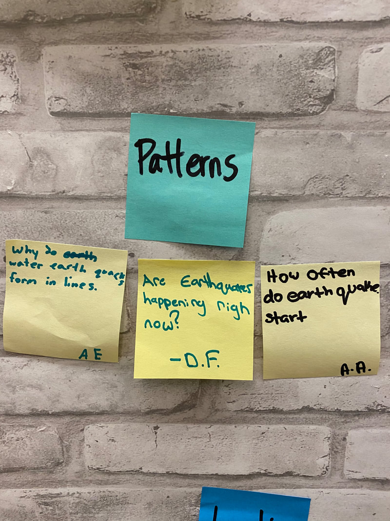
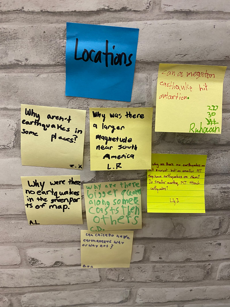
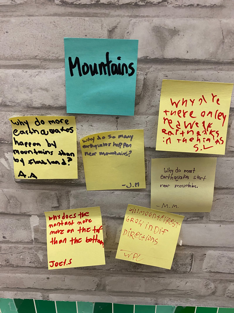
 | We agreed the best way to figure out what was happening at Mt. Everest was to look for patterns in earthquake data. Turning to an earthquake simulator and some research, we began to see that various locations around the world had both similarities and differences when it came to earthquake data. We shared out our thinking and came to an agreement on patterns we see. While we agreed that earthquakes tend to happen in lines or clusters, and that the magnitude of earthquakes strengthens as you go inland, we also saw patterns of lines in the middle of oceans (weaker magnitudes) and along the coasts of some continents. Why is this? |


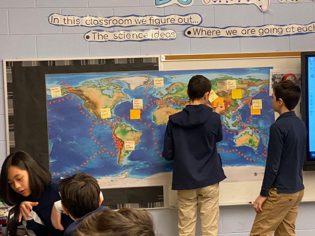
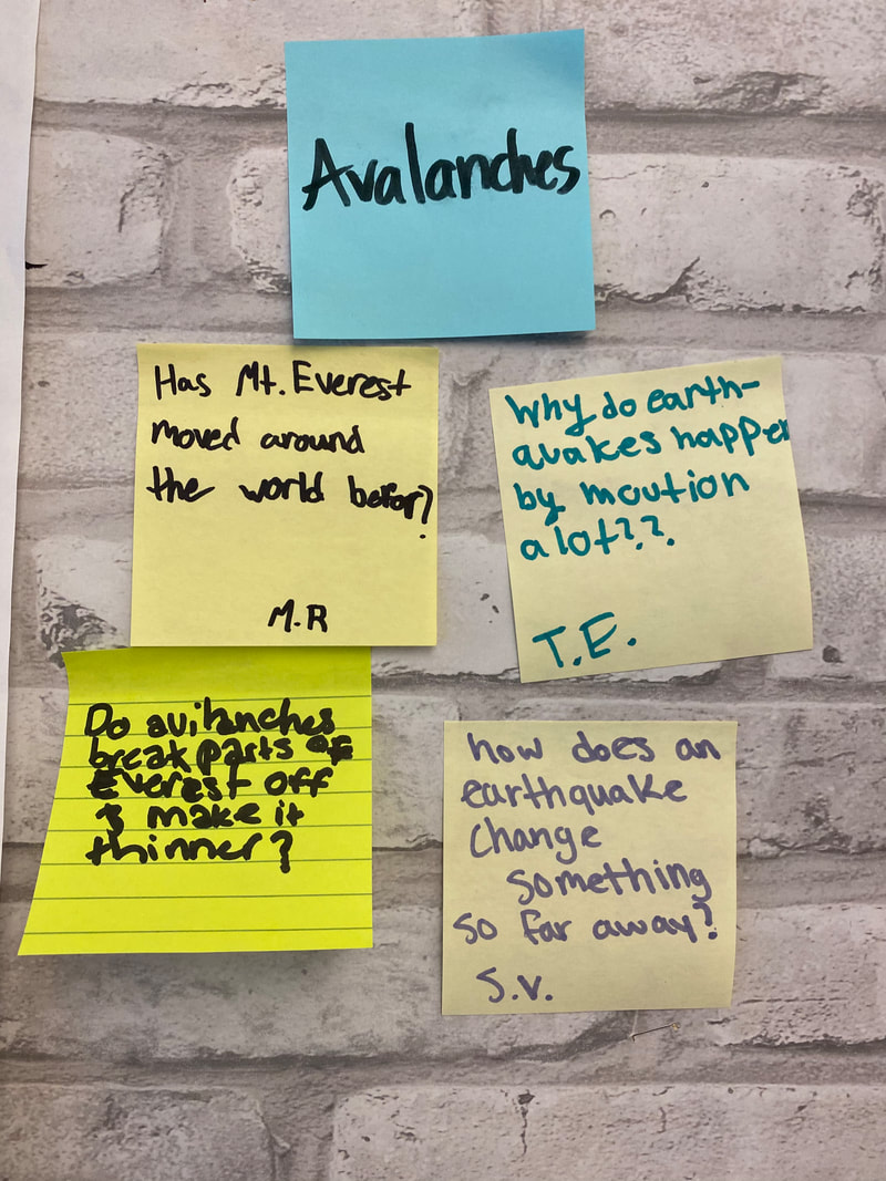
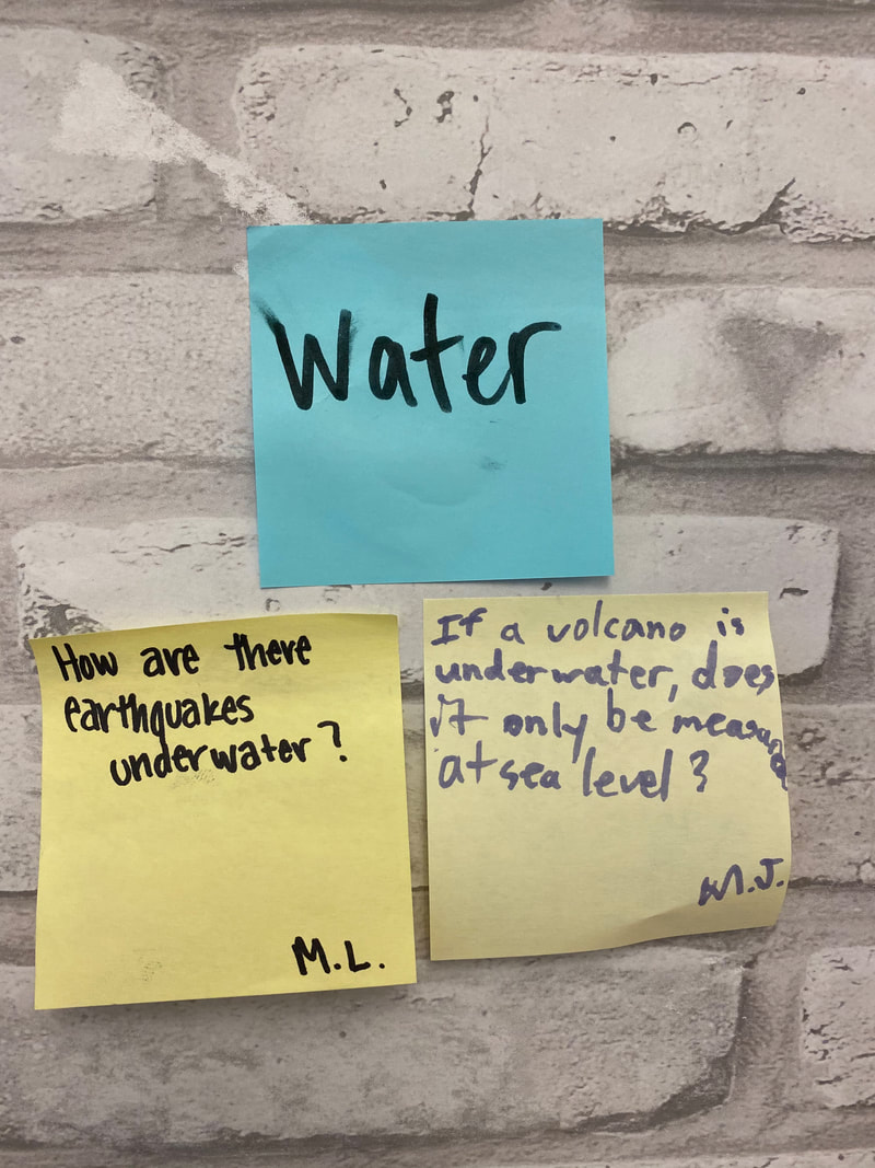
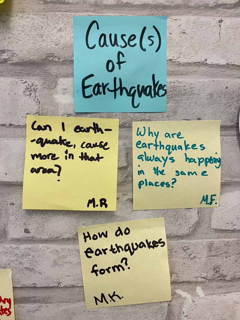
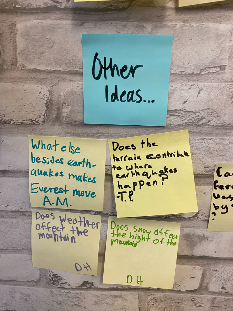
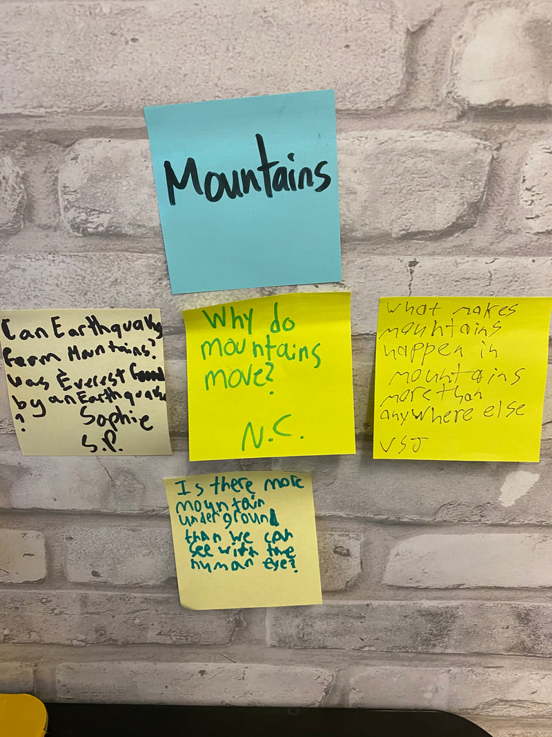
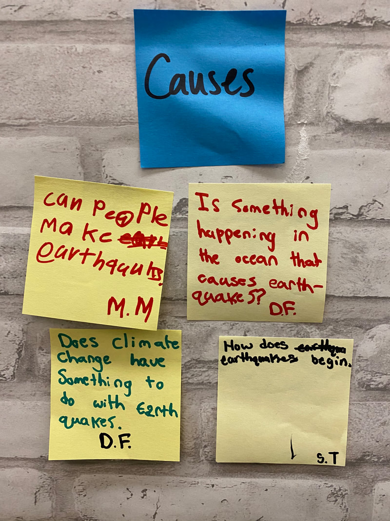
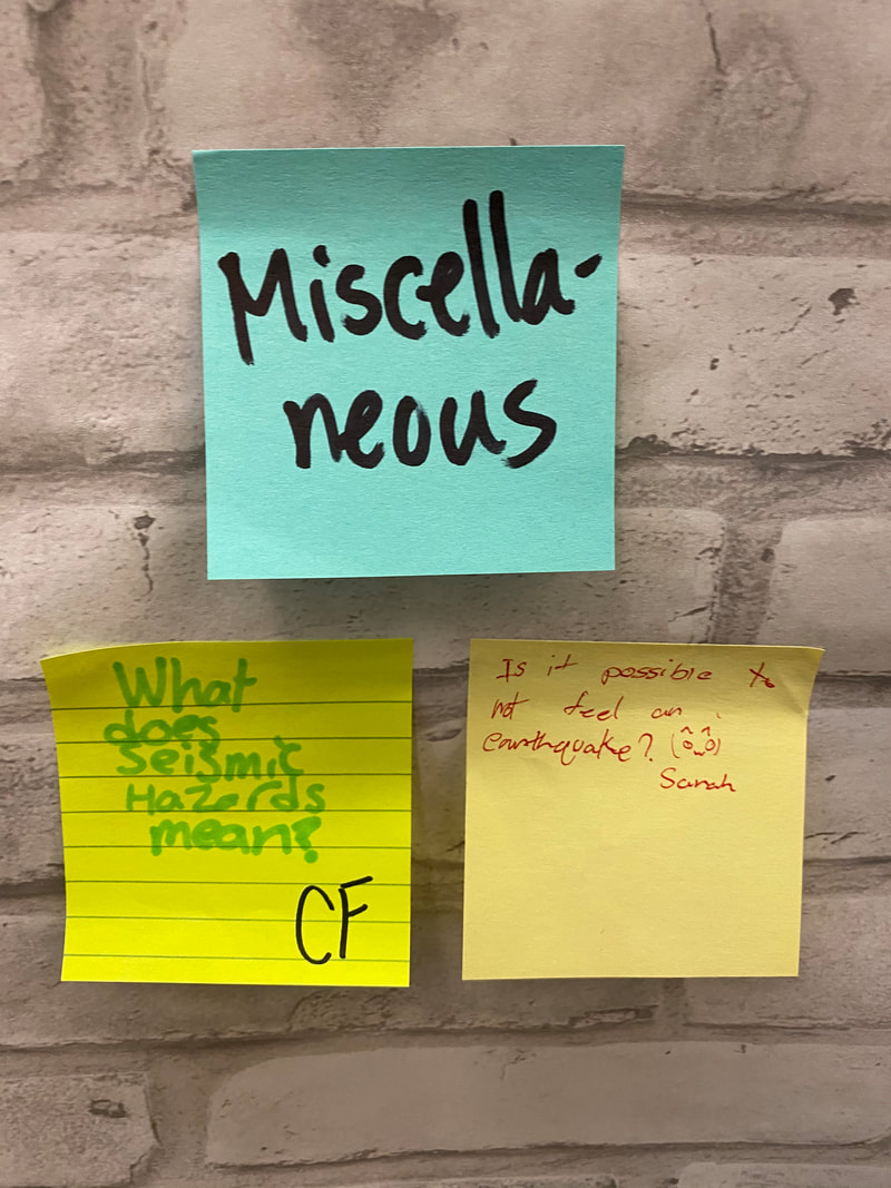
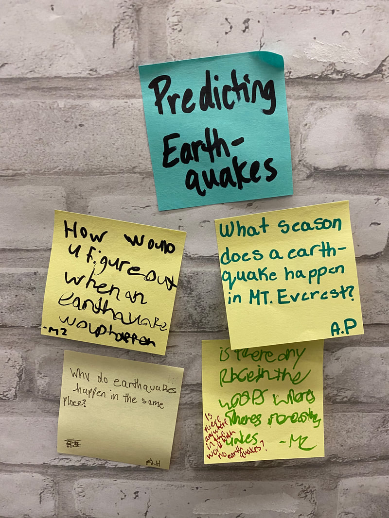
We saw some differences, too, between locations. Those differences included magnitudes and the appearance of volcanoes and tsunamis. We're wondering what's causing these earthquakes to happen in the first place and then what makes each of these earthquakes different. Like does one earthquake cause another to happen, like a chain reaction? Do these so called plates bump into each other? And what even is a "plate" that some of our classmates are talking about? How do earthquakes even get the energy to happen? And mountains are almost always nearby, so how is there enough energy to even get a mountain to move in the first place? And some parts of the ocean have "mountains" under the water...will these places end up with mountains above water one day if these earthquakes continue? Do earthquakes even make mountains?
YIKES!
We've got so many more questions...!!!
YIKES!
We've got so many more questions...!!!
We did agree we need to figure out the causes of earthquakes next...
Stay tuned!
Stay tuned!

 RSS Feed